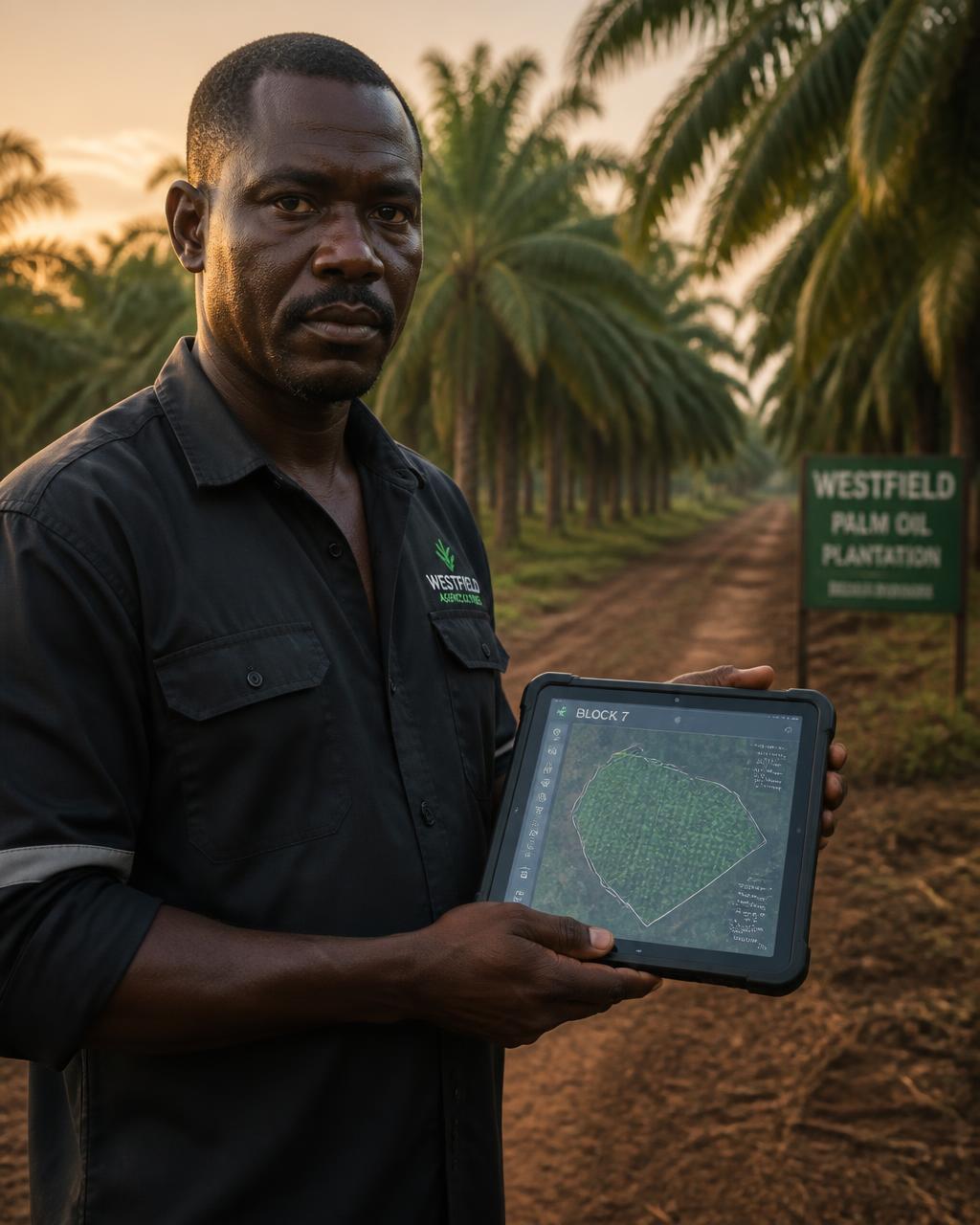
See the plantation.Run the operation.
Telala OS connects the physical reality of a plantation to the information required to manage it.
Operating infrastructure for the plantation.
Plantation information is often split between maps, field books, spreadsheets, messages and the knowledge held by individual supervisors.
Telala OS is designed to organise that reality around the plantation itself—its land, blocks, work, people, harvest and reporting.
One operating view, from map to management.
Plantation model
Create a shared spatial structure for land, plantation units, blocks, roads and operating locations.
Field activity
Connect planned work, field completion, people and harvest to the places where activity occurs.
Reporting
Give supervisors and managers a clearer view of status, exceptions and operating progress.
From field signal to management action.
The product follows the operating chain instead of forcing the plantation into a disconnected software workflow.
- 01Map the plantation
- 02Structure the work
- 03Capture field activity
- 04See the operation
Help shape the operating layer.
Early access is intended for plantation owners, operators, developers and other commercial plantation businesses.